Training In Sunderland
I travelled up to Sunderland yesterday to stay overnight as I had to attend a NHS Conference at the Newcastle Racecourse (Gosforth Park).
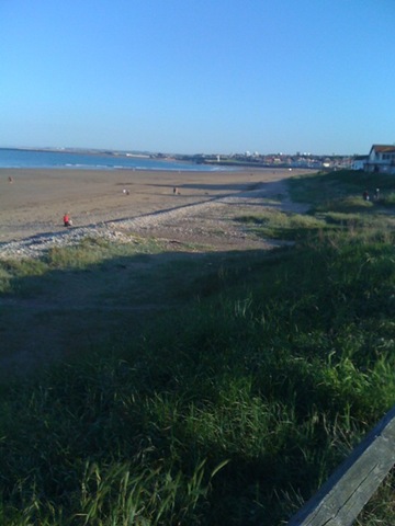
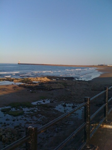
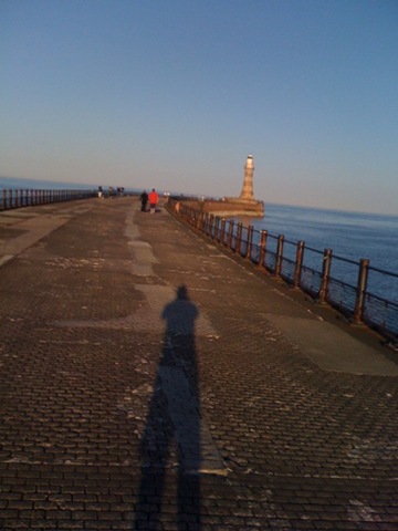
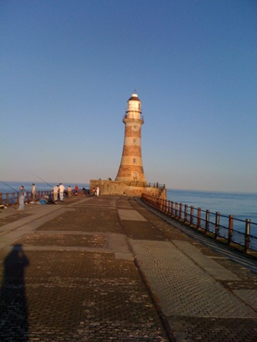
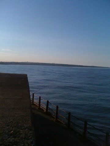
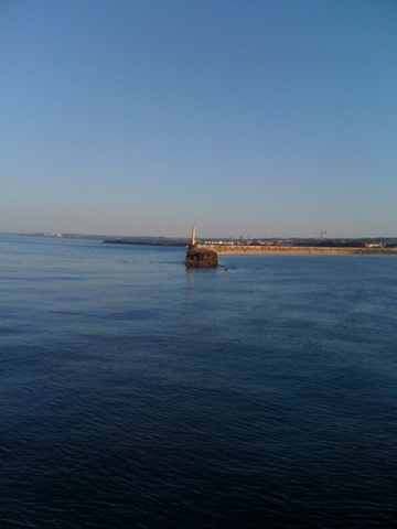
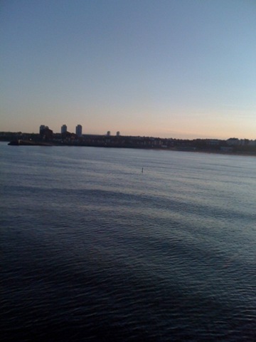
I arrived at my dads house and after chatting to hm for an hour or so I decided to head out and run along the seafront (that’s right there is a seafront in Sunderland!). I left his house around 19:30ish with the sun still blazing in the sun (that’s right the suns shines in Sunderland – sometimes :->). I ran wtih my iPod running an application called Motion-X GPS which uses the iPhones built in GPS receiver and plots the positions on Google maps.
The resultant trail can be shared to Facebook, Twitter or emailed, I chose to email the details to myself to see what the output looked like:
Date:
1 Jun 2009 7:34 pm
Distance:
5.64 miles
Elapsed Time:
44:43.9
Avg Speed:
7.6 mph
Max Speed:
10.4 mph
Avg Pace:
07′ 55" per mile
Min Altitude:
190 ft
Max Altitude:
323 ft
Start Time:
2009-06-01T18:34:05Z
Start Location:
Latitude:
54º 55.1150′ N
Longitude:
1º 22.4052′ W
End Time:
2009-06-01T19:18:49Z
End Location:
Latitude:
54º 55.1200′ N
Longitude:
1º 22.4199′ W
The email also contains a link of your route displayed in Google maps. The link is only valid for about 24 hours so you have to save it to "My Maps" within Google Maps online. I’ve done this and the map of my route can be seen here. If you click the link, make sure you click the satellite button to get a view of the beach and the North Sea.
I took some photos using the app and assumed they would be added to the map where they were took but it looks as though this doesn’t work, however, if you click the bottom Track 001 link on the left hand side of the Google Maps you’ll see a pop up appear on the map which has a picture that I took. I’ve uploaded the rest of the picture here in order of the links from the bottom Track 001 (which represents the Start of my run) to the top.

Leave a comment